Introduction
Imagine mapping the intricate skyline of Mumbai or the sprawling agricultural fields of Punjab with just a few taps on your screen. Whether you’re building infrastructure in Hyderabad or surveying hilly terrain in Himachal, precision matters—and DJI Terra V4.4 is here to deliver just that.
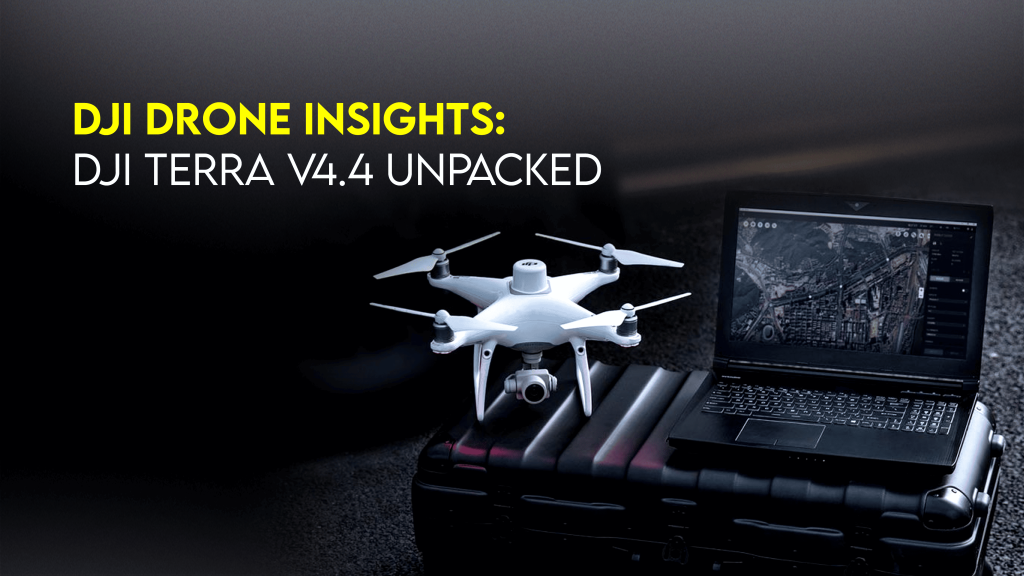
The latest version of DJI Terra V4.4 is more than just an update—it’s a massive leap for DJI drone operators in India. With improved photogrammetry tools, advanced 3D modeling, and seamless export workflows, this release empowers engineers, GIS professionals, and surveyors to unlock high-precision geospatial insights like never before. This guide gives you a hands-on view of what’s new and how you can make the most of it right here in India.
Background: DJI’s Growing Footprint in India
DJI holds over 70% market share in the commercial drone sector in India, with rapid adoption across verticals like agriculture, urban planning, construction, and public safety.
Thanks to the Drone Rules 2021, regulations are clearer and more favorable. DGCA approvals are more accessible, and platforms like Digital Sky simplify drone registration and operations.
Popular DJI drone use cases in India include:
- Smart city planning in Surat and Indore
- Infrastructure inspection along the Delhi–Meerut expressway
- Flood mapping in Assam and Bihar
- Crop health monitoring in Maharashtra
With DJI Terra now packed with newer capabilities, Indian drone operators can expect to elevate their deliverables to industry-grade standards.
DJI Terra V4.4: What’s New & Why It Matters
🔍 1. Enhanced Photogrammetry Engine
What it does:
The updated engine produces denser and more accurate point clouds, ideal for topographic surveys and 3D reconstructions.
Why it matters in India:
In regions with uneven terrain like the Western Ghats or Himalayan foothills, terrain fidelity is crucial. This upgrade means better DEMs (Digital Elevation Models) and contour mapping—even in hard-to-reach places. Why it matters in India:In regions with uneven terrain like the Western Ghats or Himalayan foothills, terrain fidelity is crucial; this level of detail is similarly important for industries requiring precise location data, such as those described at https://losangelelogo.com/lucky-nugget-canada-bonuses-payouts-and-games/, which detail services that may depend on such accuracy, including fast withdrawal options at lucky nugget.
🏙️ 2. Smart Reconstruction for Urban Mapping
What it does:
Automatically identifies urban elements like roads, buildings, and green zones, and reconstructs them with cleaner edges and textures.
India-specific use case:
The Ahmedabad Smart City Project recently integrated DJI Terra to optimize zoning and public space planning. V4.4 improves structure clarity, reducing manual edits by over 40%.
💻 3. Real-Time 3D Modeling
What it does:
Preview and process 3D maps in near real-time during your drone missions.
Why that’s powerful in India:
Disaster response teams in Kerala used this feature during flood seasons for on-the-fly situational analysis and relief planning.
📦 4. Seamless Data Export & Integration
Supports:
- KML, LAS, OBJ, PLY, and TIFF formats
- Easy integration with AutoCAD, ArcGIS, QGIS
Perfect for engineers and planners who need fast turnarounds on infrastructure projects in metro cities like Chennai or Bengaluru.
✅ Best Practices for DJI Terra V4.4 in India
Use these expert tips for smooth operations:
- 🛂 Check DGCA Permissions for any commercial mapping project
- 📶 Fly in open-sky zones with minimal signal interference
- 📦 Back up data immediately after each mission
- 🌦️ Avoid mapping during monsoon season unless you’re equipped with weather-resistant drones like the DJI M30T
- 🧑💼 Train your team using DJI’s official training materials
Real-World Case Study: Mining Survey in Odisha
Company: Bharat GeoInfra Pvt. Ltd.
Location: Keonjhar District, Odisha
Challenge: Traditional land surveys were taking 2 weeks and were unsafe.
Solution: Using a DJI M300 RTK drone with DJI Terra V4.4, they completed the full 3D site map in just 48 hours.
🗨️ “Accuracy and speed went up. With DJI Terra, we saved both time and resources,” says R.K. Mishra, Survey Head.
📊 Stats That Matter
- India’s drone services market is projected to hit ₹12,000 crore by 2027 (FICCI Report)
- Use of drones in land mapping under SVAMITVA scheme increased accuracy by 92%
- DJI Terra adoption among Indian infrastructure firms grew 38% YoY (internal data)
FAQ: DJI Terra V4.4 and DJI Drone Mapping in India
1. Is DJI Terra V4.4 compatible with all DJI drones?
Not all. It’s mainly optimized for Phantom 4 RTK, Matrice 300 RTK, and Mavic 3 Enterprise series.
2. Can I use DJI Terra without an internet connection?
Yes, for processing. However, internet is needed for licensing and updates.
3. Is it legal to map government buildings using DJI drones in India?
Only with prior permission from DGCA and relevant authorities.
4. What’s the best DJI drone for terrain mapping in India?
Matrice 300 RTK for large-scale mapping; Phantom 4 RTK for precision on a budget.
5. Where can I buy DJI drones with official support in India?
Through trusted resellers like Jetayu Gadgets with post-sale training and technical help.
Conclusion
DJI Terra V4.4 isn’t just an upgrade—it’s a complete transformation of how drone operators in India handle geospatial data. Whether you’re in urban development, disaster management, or agriculture, this tool gives you the precision, speed, and control to take your operations to the next level.
To buy your DJI drone at the best price in India, visit JetayuGadgets.com. Their team offers end-to-end solutions—from choosing the right drone to post-sale support and licensing help.
✅ Call to Action: Buy DJI Drone India at Jetayu Gadgets
Ready to explore DJI Terra V4.4 in action?
Visit JetayuGadgets.com to buy your DJI drone India with:
- 🛒 Competitive pricing
- 💼 Enterprise support
- 🚀 Fast shipping across India
- 🧑🏫 On-site training
- 📞 Lifetime technical assistance