In this comprehensive guide, we present the Top 5 Apps for Flying DJI Drones that promise to elevate your DJI drone experience, catering to enthusiasts, beginners, and professionals alike.
DJI drones have undeniably transformed the landscape of aerial photography and videography, ushering in a new era of creativity for both hobbyists and professionals. To truly unlock the potential of your DJI drone, however, selecting the right companion app is paramount.

DJI Fly: #1 of 5 Apps for Flying DJI Drone

For beginners and seasoned pilots alike, the DJI Fly app stands as the quintessential starting point. Boasting an intuitive interface, this app offers seamless control over your drone, providing a live camera feed and convenient settings adjustments. Its QuickShots feature allows for captivating aerial selfies, while the ActiveTrack functionality ensures your drone can autonomously follow you, capturing dynamic action shots effortlessly. DJI Fly’s user-friendly design makes it an accessible choice for novices, yet its versatility makes it a powerful tool for casual flyers.
Litchi: #2 of 5 Apps for Flying DJI Drone
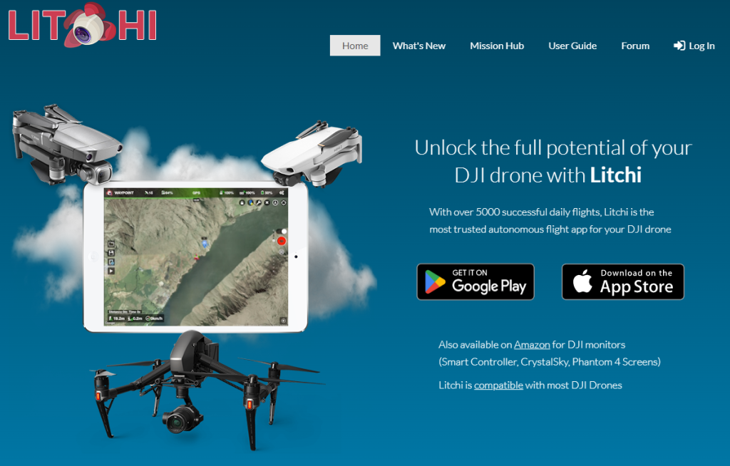
Once you’ve conquered the basics, Litchi steps in to unleash your inner filmmaker. This app opens the door to crafting intricate waypoint missions, guiding your drone along pre-programmed flight paths for breathtaking landscape shots. Litchi’s intelligent follow-me mode ensures you’re always in the frame, making it an ideal companion for recording adventurous bike rides or thrilling ski descents. Videographers will appreciate Litchi’s cinematic shots, including the professional touch of Orbit and Cable Cam. While Litchi may present a steeper learning curve, its cinematic potential is well worth the investment for those looking to elevate their drone videography.
Dronelink: #3 of 5 Apps for Flying DJI Drone
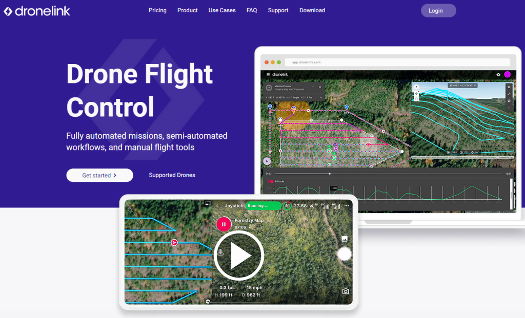
For enthusiasts seeking unparalleled control and precision, Dronelink emerges as a game-changer. Operating on a cloud-based platform, Dronelink allows you to plan intricate missions from any location, offering a 3D terrain map visualization of your flight path. What sets Dronelink apart is its automated obstacle avoidance, ensuring your drone navigates safely through unforeseen challenges. Live data analytics keep you informed during your mission, making it an ideal choice for professional applications such as surveying or inspection. However, the subscription model and advanced features may be better suited for those committed to more than casual drone use.
UAV Forecast: #4 of 5 Apps for Flying DJI Drone

Before taking to the skies, consult UAV Forecast – your indispensable pre-flight meteorologist. This app delivers real-time weather updates, including wind speed, precipitation, and cloud cover, crucial for ensuring safe and legal flight operations. UAV Forecast empowers you to make informed decisions, preventing unexpected weather changes from compromising your aerial endeavors. Its intuitive interface and straightforward design make it a must-have for every DJI pilot, irrespective of experience level.
Google Maps: #5 of 5 Apps for Flying DJI Drone
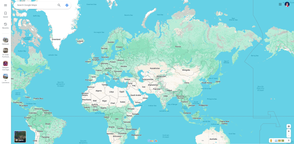
Navigating the skies responsibly is non-negotiable for drone pilots, and Google Maps plays a crucial role in ensuring compliance. By displaying airspace restrictions in your area, Google Maps aids in avoiding unintentional incursions into restricted zones. Additionally, it provides valuable terrain data, assisting you in planning your flight path around obstacles and optimizing your aerial opportunities. Whether you’re a seasoned professional or a curious beginner, Google Maps is an indispensable tool for safe and legal drone flight.
Choosing the Perfect App for Your Flight Journey
For Beginners: DJI Fly for Seamless Start
Start your drone journey with DJI Fly for its user-friendly interface and intuitive controls. As you grow more comfortable, explore QuickShots and ActiveTrack for creative aerial shots.
For Enthusiasts: Litchi Unleashes Cinematic Potential
Ready to elevate your skills? Litchi’s waypoint missions and cinematic presets will unleash your inner filmmaker. Remember, practice makes perfect!
For Professionals: Dronelink for Precision Missions
Dronelink’s mission planning and data analysis are tailored for commercial applications. Note that its subscription model and advanced features may be overwhelming for casual users.
Safety First: UAV Forecast for Informed Decisions
Always prioritize safety. Use UAV Forecast for informed flight decisions and consult Google Maps to stay within legal boundaries.
Stay Up-to-Date: Embrace Technological Evolution
Drone technology evolves rapidly; stay ahead by regularly checking for app updates. Unlock new features and capabilities to continually enhance your drone flying experience.
With these insights and the right app by your side, you’re poised to soar confidently into the world of DJI drones. Explore, capture, and create – the sky’s the limit!

