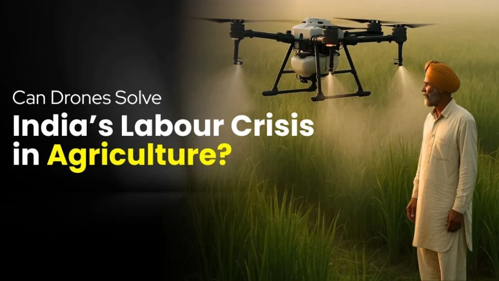
The Fastest Blood Delivery in the World? A Drone in the Sky
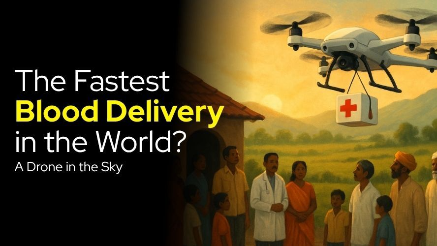
In the corridors of modern healthcare, where every second counts and lives hang in the balance, a revolutionary technology is silently transforming emergency medical responses. Drone technology, once relegated to aerial photography and military applications, has emerged as a game-changer in medical logistics, particularly in blood delivery systems. This transformation represents more than just technological advancement—it’s a paradigm shift that’s redefining how we approach critical healthcare delivery.
The concept of using unmanned aerial vehicles (UAVs) for medical purposes isn’t entirely new, but its implementation in blood delivery has reached unprecedented levels of sophistication and reliability. Countries like Rwanda, Ghana, and parts of the United States have already demonstrated the life-saving potential of these flying medical couriers. In India, where geographical diversity and infrastructure challenges often complicate healthcare delivery, drone-based blood transportation is poised to become a cornerstone of emergency medical services.
The Critical Need for Speed in Blood Delivery
Blood is unlike any other medical supply—it’s perishable, temperature-sensitive, and often needed in life-or-death situations. Traditional ground transportation faces numerous obstacles that can delay critical deliveries:
Geographic Challenges:
- Mountain terrains that make road access difficult or impossible
- Remote islands accessible only by boat or helicopter
- Urban traffic congestion that can turn a 30-minute journey into a 2-hour ordeal
- Natural disasters that damage road infrastructure
Time-Sensitive Nature:
- Trauma patients requiring immediate blood transfusions
- Emergency surgeries where blood loss exceeds expectations
- Rare blood types that may only be available at distant blood banks
- Platelet deliveries that have extremely short shelf lives
Infrastructure Limitations:
- Poor road conditions in rural areas
- Limited helicopter services for medical emergencies
- Inadequate cold chain logistics in remote regions
- High costs associated with traditional emergency transport
How Drone Blood Delivery Systems Work
Modern medical drone systems are marvels of engineering precision. These aren’t simple consumer drones repurposed for medical use—they’re specialized platforms designed specifically for healthcare logistics.
Core Components and Technology
Temperature Control Systems: The most critical aspect of blood transport is maintaining the cold chain. Medical drones are equipped with sophisticated temperature-controlled compartments that can maintain blood products at the required 2-8°C throughout the flight. These systems include:
- GPS-enabled temperature monitoring
- Real-time alerts for temperature deviations
- Backup cooling systems for extended flights
- Insulated compartments with medical-grade materials
Navigation and Safety Features:
- Advanced GPS systems with redundant positioning
- Obstacle avoidance sensors
- Emergency landing protocols
- Real-time flight monitoring and communication systems
Payload Specifications: Most medical drones can carry between 1.5 to 3 kilograms of medical supplies, sufficient for multiple blood units or emergency medical kits. The payload compartments are designed to protect contents from vibration, impact, and environmental factors.
Flight Operations Protocol
The process begins when a hospital or medical facility places an urgent request for blood products. The request is processed through a centralized system that verifies availability, determines the optimal flight path, and initiates the delivery sequence. Weather conditions are assessed, flight permissions are secured, and the drone is loaded with the required blood products.
During flight, the drone maintains constant communication with ground control stations, providing real-time updates on location, temperature status, and estimated arrival time. Medical personnel at the destination facility receive notifications about the incoming delivery, allowing them to prepare for immediate use of the blood products.
Global Success Stories and Implementation
| Country | Program Name | Launch Year | Coverage Area | Daily Deliveries | Cost Reduction |
|---|---|---|---|---|---|
| Rwanda | Zipline | 2016 | Nationwide | 150+ | 40% |
| Ghana | Zipline | 2019 | Northern Region | 100+ | 35% |
| USA | UPS Flight Forward | 2019 | North Carolina | 50+ | 30% |
| India | Swiggy Medicines | 2021 | Pilot Cities | 25+ | 25% |
Rwanda: The Pioneer Success Story
Rwanda’s partnership with Zipline represents one of the world’s most successful implementations of drone-based medical delivery. The program has achieved remarkable results:
- Delivery Time: Reduced from 4 hours to 30 minutes for remote areas
- Cost Efficiency: 40% reduction in logistics costs compared to traditional methods
- Reliability: 99.5% successful delivery rate
- Coverage: Serving 12 million people across the country
The success in Rwanda has become a blueprint for other nations, demonstrating that drone technology can overcome significant geographical and infrastructure challenges while maintaining the highest standards of medical safety.
Ghana’s Expanding Network
Ghana’s implementation has focused on addressing the unique challenges of delivering medical supplies to rural communities. The program has successfully:
- Reduced maternal mortality rates by ensuring timely blood availability
- Improved response times for emergency medical situations
- Created a sustainable model for healthcare logistics in developing regions
- Demonstrated the viability of drone technology in diverse weather conditions
The Indian Context: Opportunities and Challenges
India’s diverse geography and complex healthcare infrastructure present both opportunities and challenges for drone-based blood delivery systems. The potential for transformation is enormous, considering that India has over 600 million people living in rural areas where healthcare access remains limited.
Current Initiatives and Pilot Programs
Several Indian states have initiated pilot programs for medical drone deliveries:
Telangana’s Medicine from the Sky:
- Investment: ₹50 crore initial funding
- Coverage: 10 districts in Phase 1
- Projected Savings: ₹200 crore annually in logistics costs
- Timeline: Full implementation by 2025
Karnataka’s Blood Drone Project:
- Partners: Indian Institute of Science, local hospitals
- Focus: Connecting tier-2 and tier-3 cities
- Budget: ₹75 crore over 3 years
- Expected Impact: 50% reduction in emergency response times
Himachal Pradesh Mountain Delivery:
- Unique Challenge: High-altitude operations
- Altitude Range: Up to 4,000 meters
- Weather Adaptations: Snow and wind-resistant systems
- Cost per Delivery: ₹1,500 compared to ₹8,000 for helicopter transport
Regulatory Framework and Compliance
The Directorate General of Civil Aviation (DGCA) has established comprehensive guidelines for medical drone operations. These regulations ensure safety while promoting innovation:
- Pilot Licensing: Mandatory certification for drone operators
- Flight Permissions: Streamlined approval process for medical emergencies
- Insurance Requirements: Comprehensive coverage for medical deliveries
- Safety Standards: Regular audits and compliance checks
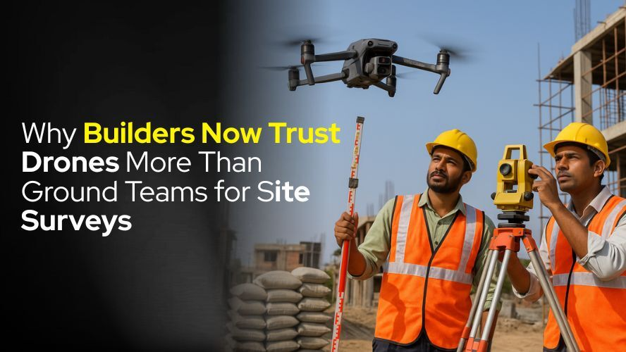
Connection to Site Surveys and Aerial Applications
The technology powering blood delivery drones shares fundamental similarities with systems used in construction and surveying applications. Just as builders now trust drones more than ground teams for site surveys, healthcare providers are discovering that aerial delivery systems offer superior reliability and efficiency compared to traditional ground transportation.
Why Builders Trust Drones for Site Surveys
The construction industry’s adoption of drone technology provides valuable insights for healthcare applications:
Precision and Accuracy:
- Ground Teams: Limited by terrain accessibility, requiring 3-4 days for comprehensive surveys
- Drone Systems: Complete site mapping in 2-3 hours with centimeter-level accuracy
- Cost Comparison: ₹50,000 for traditional surveys vs. ₹15,000 for drone-based surveys
Safety and Risk Reduction:
- Traditional Methods: Workers exposed to hazardous conditions, potential for accidents
- Drone Technology: Eliminates human exposure to dangerous environments
- Insurance Benefits: 60% reduction in liability costs for construction companies
Data Quality and Analysis:
- Real-time Monitoring: Continuous site surveillance and progress tracking
- 3D Mapping: Detailed topographical analysis not possible with ground surveys
- Documentation: Complete visual records for regulatory compliance
Capturing India’s Diversity: From Himalayas to Sea
The versatility of drone technology extends beyond medical and construction applications to encompass India’s incredible geographical diversity. Modern drones can capture the majesty of the Himalayas, the vastness of the Thar Desert, and the coastal beauty of Kerala’s backwaters.
High-Altitude Capabilities:
- Himalayan Operations: Specialized drones operating at altitudes up to 5,000 meters
- Weather Resistance: Systems designed for extreme cold and wind conditions
- Battery Performance: Enhanced power systems for high-altitude operations
Coastal and Marine Applications:
- Water Resistance: IP67-rated systems for coastal operations
- Salt Corrosion Protection: Specialized coatings for marine environments
- Extended Range: Long-range capabilities for offshore operations
Jetayu Gadgets: Leading Innovation in Indian Drone Technology
India’s drone industry has seen remarkable growth, with companies like Jetayu Gadgets at the forefront of innovation. Jetayu has developed specialized platforms that address the unique requirements of Indian conditions:
Medical Drone Series
Model JG-MD1 (Medical Delivery Specialist):
- Payload Capacity: 2.5 kg
- Flight Range: 25 km
- Temperature Control: ±0.5°C precision
- Price: ₹3,50,000
- Battery Life: 45 minutes flight time
Model JG-MD2 (Long Range Medical):
- Payload Capacity: 4 kg
- Flight Range: 50 km
- Advanced Features: Dual GPS, emergency landing systems
- Price: ₹6,50,000
- Special Capability: All-weather operations
Survey and Mapping Drones
Model JG-SM1 (Site Survey Professional):
- Camera Resolution: 4K with gimbal stabilization
- Mapping Accuracy: 2cm ground resolution
- Flight Time: 60 minutes
- Price: ₹2,25,000
- Software Integration: Compatible with major CAD platforms
Model JG-SM2 (Himalayan Explorer):
- Altitude Capability: 6,000 meters
- Cold Weather Operation: -20°C to +50°C
- Price: ₹4,75,000
- Special Features: Heated battery compartments, enhanced GPS for mountain operations
Technical Specifications Comparison
| Feature | JG-MD1 | JG-MD2 | JG-SM1 | JG-SM2 |
|---|---|---|---|---|
| Max Payload | 2.5 kg | 4 kg | 1.5 kg | 2 kg |
| Flight Range | 25 km | 50 km | 20 km | 40 km |
| Battery Life | 45 min | 60 min | 60 min | 75 min |
| Price | ₹3,50,000 | ₹6,50,000 | ₹2,25,000 | ₹4,75,000 |
| Temperature Control | Yes | Yes | No | Yes |
| All-Weather | No | Yes | No | Yes |
Economic Impact and Cost Analysis
The economic implications of drone-based blood delivery extend far beyond immediate cost savings. The technology creates new economic opportunities while reducing the overall cost of healthcare delivery.
Direct Cost Comparisons
Traditional Blood Delivery Costs:
- Ambulance Service: ₹5,000-₹8,000 per emergency trip
- Helicopter Transport: ₹25,000-₹40,000 per hour
- Cold Chain Logistics: ₹2,000-₹3,000 per delivery
- Personnel Costs: ₹1,500-₹2,500 per delivery
Drone Delivery Costs:
- Operational Cost: ₹800-₹1,200 per delivery
- Maintenance: ₹200-₹400 per flight
- Insurance: ₹100-₹200 per delivery
- Total Cost: ₹1,100-₹1,800 per delivery
Return on Investment Analysis
Hospitals investing in drone delivery systems typically see returns within 18-24 months:
Initial Investment:
- Drone System: ₹5,00,000-₹8,00,000
- Ground Infrastructure: ₹2,00,000-₹3,00,000
- Training and Certification: ₹1,00,000-₹1,50,000
- Total Initial Cost: ₹8,00,000-₹12,50,000
Annual Savings:
- Reduced Transportation Costs: ₹15,00,000-₹20,00,000
- Improved Patient Outcomes: ₹10,00,000-₹15,00,000 (reduced mortality costs)
- Operational Efficiency: ₹5,00,000-₹8,00,000
- Total Annual Savings: ₹30,00,000-₹43,00,000
Future Prospects and Technological Advancement
The future of drone-based blood delivery looks increasingly promising as technology continues to advance. Several emerging trends are shaping the next generation of medical drone systems:
Artificial Intelligence Integration
AI-powered systems are beginning to optimize flight paths, predict maintenance needs, and improve overall system reliability. Machine learning algorithms analyze weather patterns, traffic conditions, and historical delivery data to optimize routes and reduce delivery times.
Autonomous Operations
The next generation of medical drones will feature fully autonomous operations, from takeoff to landing. These systems will be capable of making real-time decisions about flight path adjustments, emergency landings, and optimal delivery strategies without human intervention.
Extended Range and Payload
Technological advances in battery technology and materials science are enabling drones with longer flight ranges and larger payload capacities. Future systems may be capable of carrying multiple blood units or entire emergency medical kits across distances of 100 kilometers or more.
Challenges and Solutions
Despite the promising potential, several challenges must be addressed for widespread adoption of drone-based blood delivery systems:
Technical Challenges
Battery Technology: Current battery limitations restrict flight range and payload capacity. However, developments in solid-state batteries and hydrogen fuel cells promise significant improvements in performance and reliability.
Weather Adaptability: Extreme weather conditions can ground drone operations. Advanced weather prediction systems and improved drone designs are addressing these limitations.
Regulatory Complexity: Navigating airspace regulations and obtaining necessary permits can be complex. Streamlined regulatory frameworks and dedicated medical drone corridors are being developed to address these challenges.
Solutions and Innovations
Redundant Systems: Modern medical drones incorporate multiple backup systems to ensure mission success even if primary systems fail.
Weather Monitoring: Advanced weather prediction and real-time monitoring systems help operators make informed decisions about flight conditions.
Regulatory Partnerships: Collaboration between drone manufacturers, healthcare providers, and regulatory authorities is streamlining approval processes and establishing safety standards.
Conclusion
The transformation of blood delivery through drone technology represents a fundamental shift in how we approach emergency healthcare logistics. From the successful implementations in Rwanda and Ghana to the emerging programs in India, drone-based delivery systems are proving their worth in saving lives and reducing costs.
The connection between medical drones and other applications, such as site surveys and aerial photography, demonstrates the versatility and reliability of modern drone technology. Companies like Jetayu Gadgets are leading the charge in developing specialized solutions for Indian conditions, creating platforms that can operate from the Himalayas to the coastal regions.
As technology continues to advance and regulatory frameworks evolve, drone-based blood delivery will become increasingly common. The economic benefits, combined with the potential for saving lives, make this technology an essential component of future healthcare infrastructure.
The sky is no longer the limit—it’s the highway to faster, more efficient, and more reliable medical care. In a world where every second counts, drones are proving that sometimes the fastest way to save a life is to take to the air.