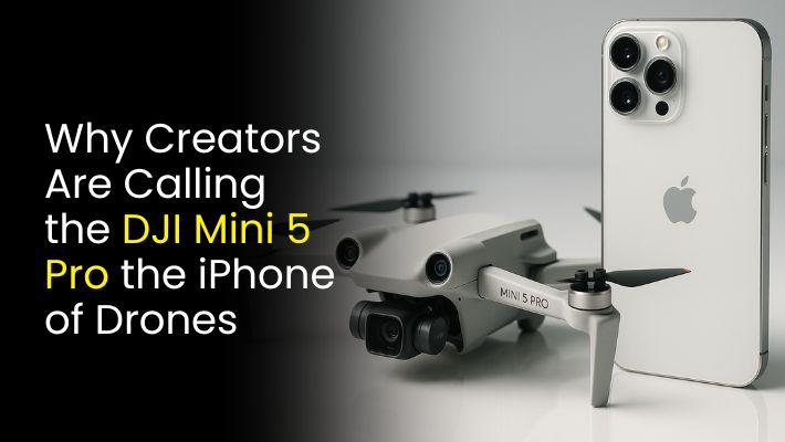
What’s Changed in DJI mini 5 pro and Is It Worth the Upgrade?
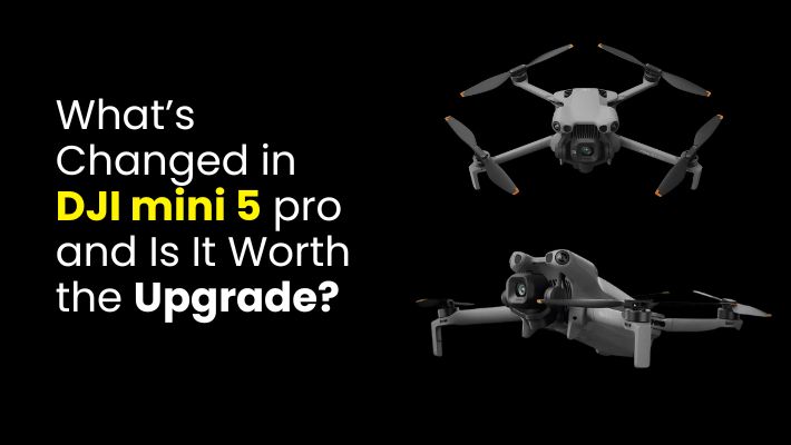
DJI has once again raised the bar in what it means to own a premium, ultra-portable drone. The DJI Mini 5 Pro arrives as the latest evolution of the Mini series and on paper it looks like a serious upgrade over its predecessor, the Mini 4 Pro. With impressive improvements in camera, flight performance, obstacle …
What’s Changed in DJI mini 5 pro and Is It Worth the Upgrade? Read More »