DJI Mavic 3 RTK Module
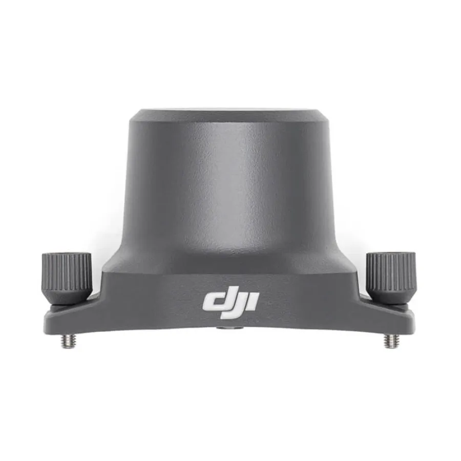
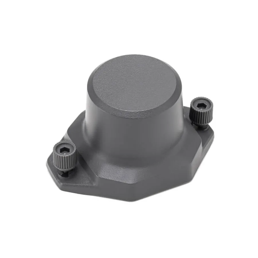
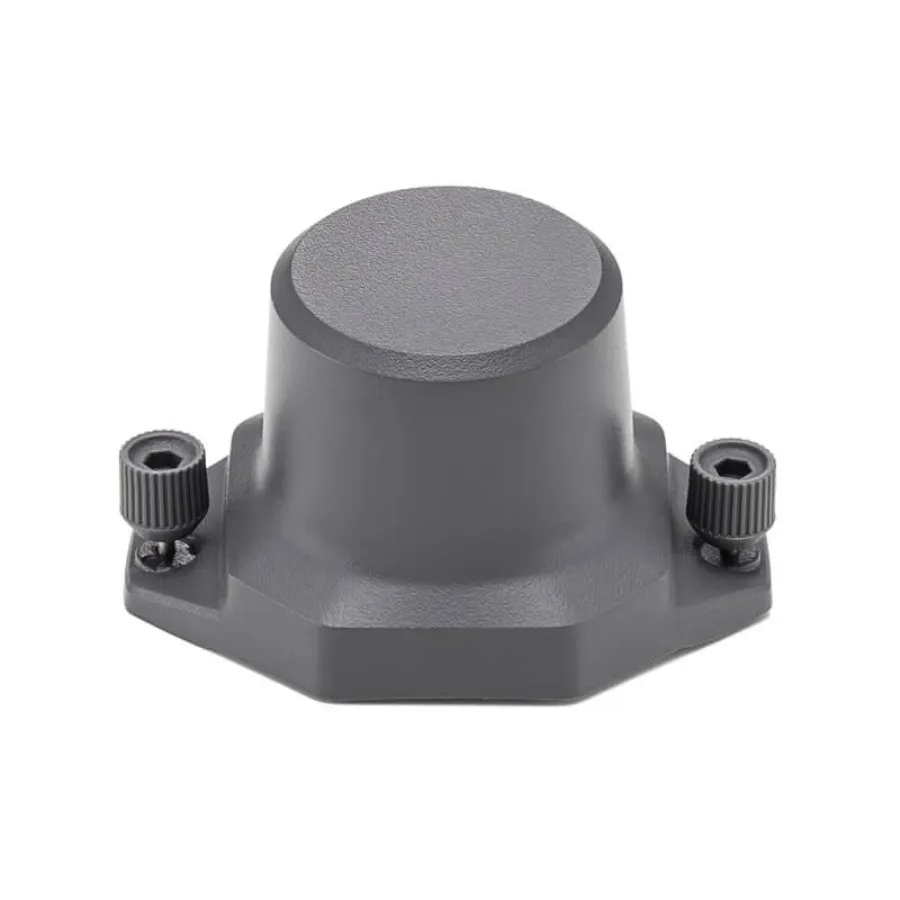
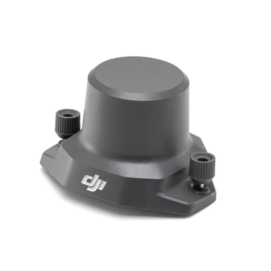
DJI Mavic 3 RTK Module
1 Year
Warranty
7 Days
Replacement
In House
Repairs
Sealed
Packed
DJI Mavic 3 RTK Module
High Precision Positioning for Survey Grade Mapping and Professional Aerial Data Capture
The DJI Mavic 3 RTK Module is a professional positioning accessory designed for operators who require centimeter level accuracy in mapping, surveying, inspection, and industrial documentation. By adding Real Time Kinematic capability to the Mavic 3 platform, this module transforms the aircraft into a precise, dependable tool for capturing geospatial data with confidence.
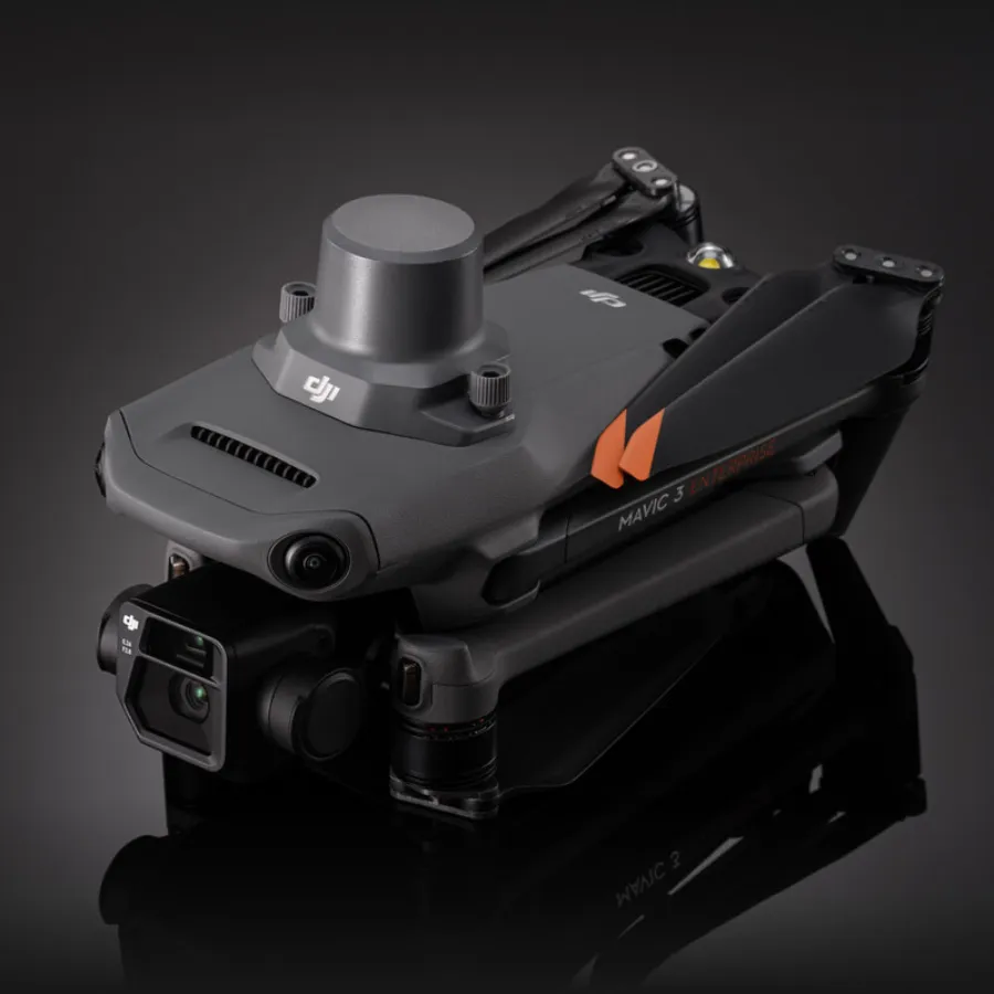
Easy to install and seamlessly integrated into the drone’s flight control system, the Mavic 3 RTK Module delivers repeatable accuracy, stable positioning, and enhanced reliability for high precision workflows. It is ideal for professionals who need consistent and accurate ground truth in their aerial datasets.
Centimeter Level Positioning Accuracy
The RTK Module uses advanced satellite correction technology to dramatically improve positional accuracy.
Key advantages include:
-
Real time centimeter level positioning when used with compatible network correction sources
-
Stable and reliable flight paths for mission repeatability
-
Greatly reduced ground control point requirements in many survey environments
-
Consistent accuracy across mapping, modeling, and inspection missions
This precision supports professional outputs for engineering, construction, public safety, and land management projects.
Seamless Integration with Mavic 3 Enterprise Systems
The module connects directly to the compatible Mavic 3 aircraft and integrates with DJI flight software.
Features include:
-
Full compatibility with DJI Pilot 2 mission planning
-
Automatic synchronization with RTK correction services
-
Real time status monitoring during flight
-
Smooth communication with onboard sensors and camera systems
Its plug and use design makes it simple for teams to incorporate high accuracy positioning into their existing workflows.
Reliable Performance for Survey and Mapping Missions
When paired with mapping payloads and automated flight tools, the RTK Module enables:
-
Precise waypoint navigation
-
Accurate photo alignment for photogrammetry
-
High quality digital twins and three dimensional models
-
Trustworthy repeat flights for progress tracking
The module ensures that maps and measurements maintain a consistent spatial reference throughout all stages of a project.
Supports Diverse Industry Applications
Professionals across many fields benefit from the enhanced accuracy the RTK Module provides. Common uses include:
-
Land surveying and cadastral mapping
-
Construction progress documentation
-
Roadway, pipeline, and powerline corridor mapping
-
Agriculture field analysis and precision management
-
Mining volumetrics and site modeling
-
Environmental monitoring and scientific research
-
Public safety scene reconstruction
The module brings a level of precision that supports both large scale and detail oriented operations.
Compact, Lightweight, and Rugged
The accessory is designed to match the portability and durability of the Mavic 3 platform.
Its advantages include:
-
Lightweight profile that preserves flight performance
-
Secure mounting for stable communication
-
Resistant to environmental interference
-
Dependable operation in both urban and rural settings
This ensures consistent accuracy no matter where the mission takes place.
Why Choose the DJI Mavic 3 RTK Module
The RTK Module elevates the Mavic 3 into a powerful professional mapping tool by providing:
-
Real time centimeter level positioning
-
Strong integration with enterprise flight planning tools
-
Reduced need for extensive ground control
-
Reliable performance in demanding professional environments
-
Enhanced precision for photogrammetry and survey grade outputs
The DJI Mavic 3 RTK Module is essential for operators who require accurate, repeatable, and high quality geospatial results from the Mavic 3 platform.
