DJI Matrice 4 Enterprise - M4E
DJI Matrice 4 Enterprise - M4E
1 Year
Warranty
7 Days
Replacement
In House
Repairs
Sealed
Packed
Mapping-grade
imagery.
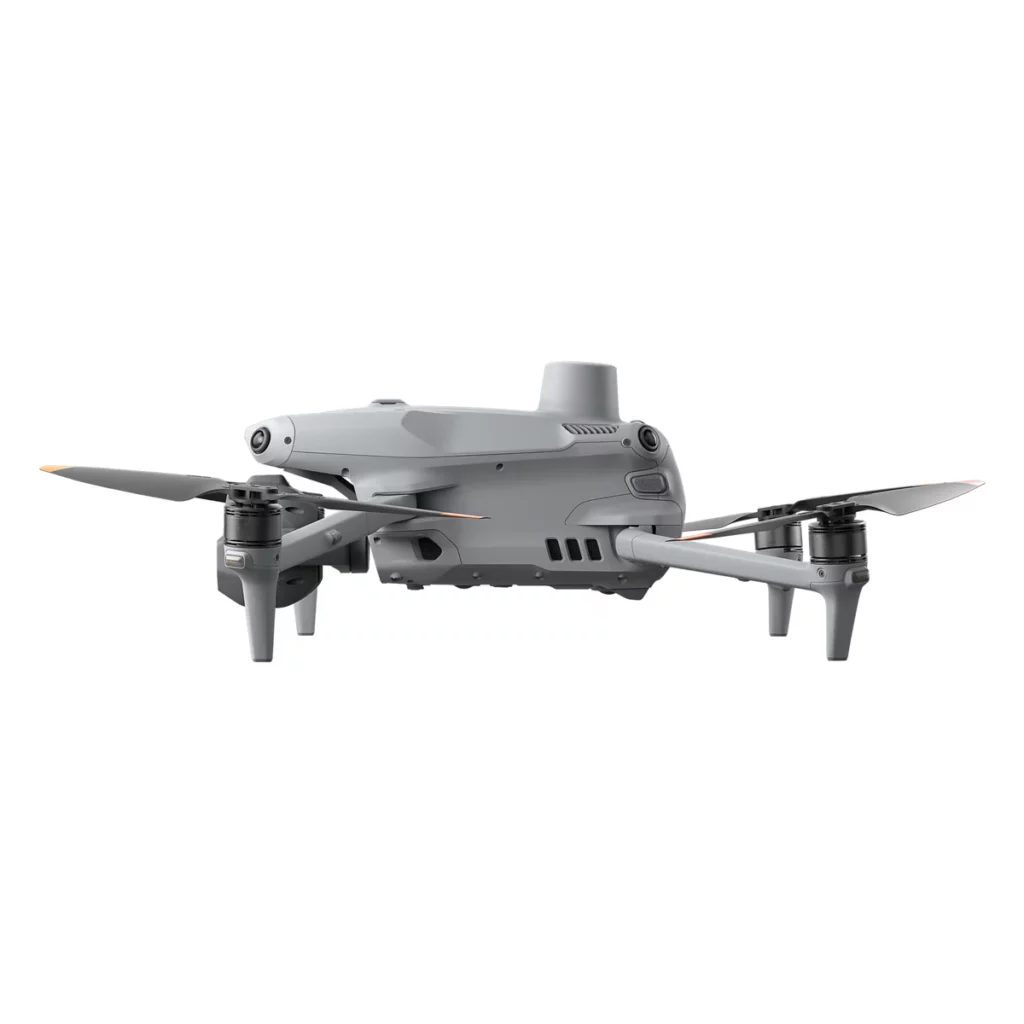
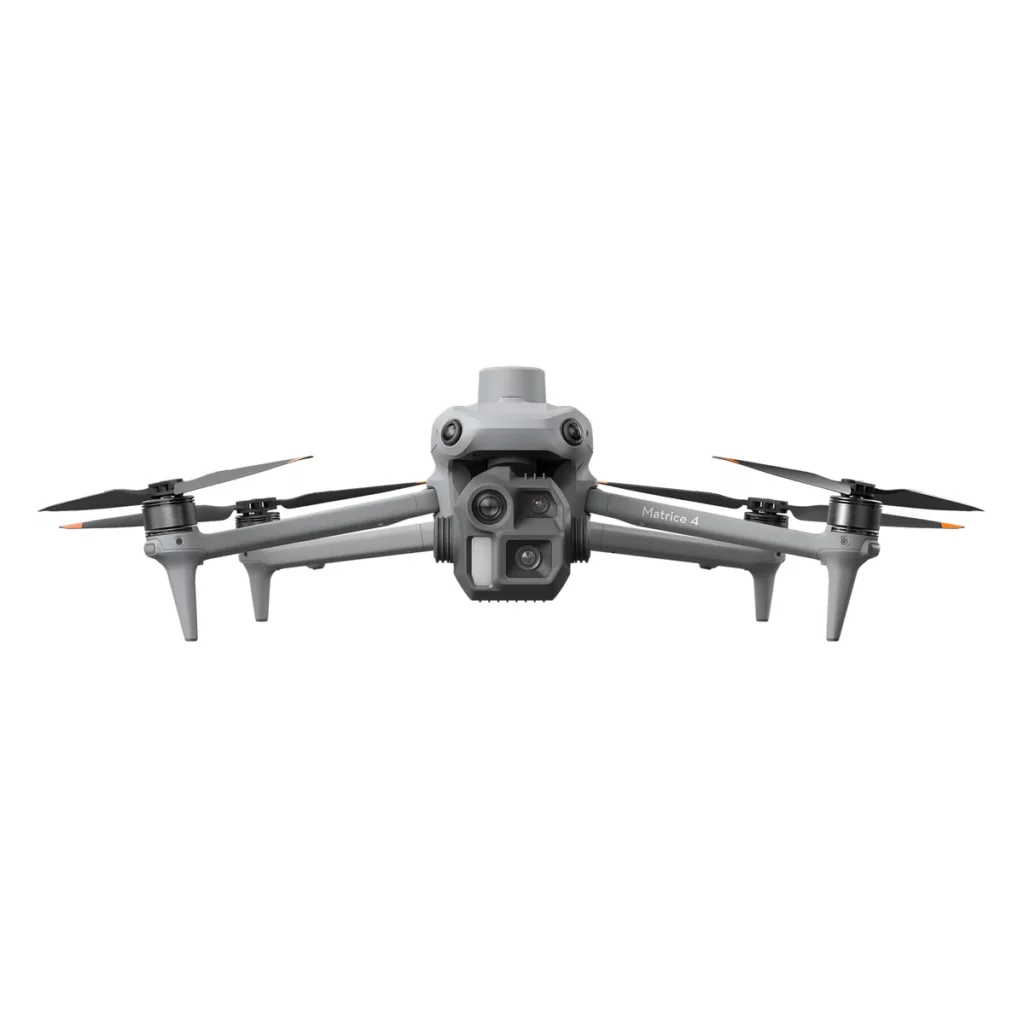
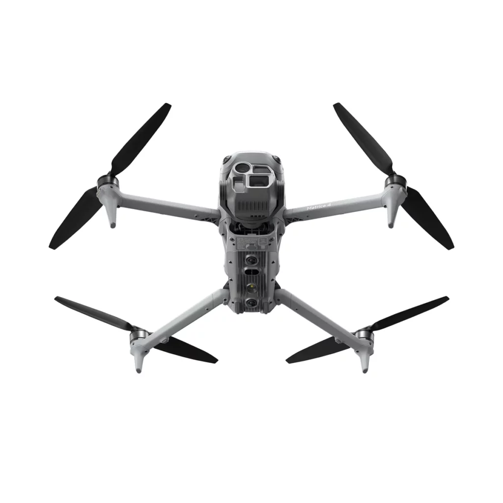
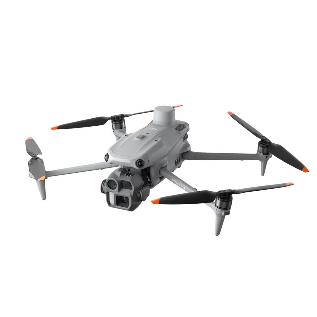
Where the M4T is the public safety / inspection variant, the M4E is the geospatial sibling. 4/3-inch CMOS wide camera with mechanical shutter eliminates rolling-shutter distortion that ruins photogrammetric processing. 20 MP raw output (DNG) with 8064×6048 medium telephoto and 8192×6144 telephoto. RTK module delivers 1 cm horizontal positioning. Same compact 1,219g airframe as M4T but engineered for surveying, mapping, construction, mining, and AEC workflows.
4/3 CMOS.
Mechanical shutter.
The M4E's wide camera uses a 4/3-inch CMOS sensor with adjustable aperture (f/2.8–f/11) and a true mechanical shutter at speeds up to 1/2000s. Mechanical shutter is essential for accurate photogrammetry — the rolling shutter on consumer drones introduces geometric distortion that propagates through point cloud generation, ortho stitching, and final deliverables. For surveying and mapping work where measurements need to be defensible, mechanical shutter isn't optional — it's required.
70mm. 168mm.
Both 48 MP.
Two telephoto cameras complement the wide: 70mm medium telephoto with 1/1.3-inch 48MP sensor (f/2.8) and 168mm long telephoto with 1/1.5-inch 48MP sensor (f/2.8). 16x optical zoom on the long lens scales to 112x with hybrid digital zoom — useful for inspecting individual fasteners on tower structures, identifying pavement cracks during corridor mapping, or reading equipment serial numbers without ground access.
DNG raw.
RTK accuracy.
Wide camera supports DNG (RAW) output for maximum dynamic range in photogrammetric processing. With RTK module enabled, the aircraft logs position to centimetre precision per exposure — sufficient for direct georeferencing without ground control points in many workflows. DJI Terra integration produces 2D ortho mosaics, oblique 3D models, and digital surface models directly from M4E flights. Pix4D, Bentley ContextCapture, and Agisoft Metashape all process M4E imagery natively.
Same M4 chassis.
Different brain.
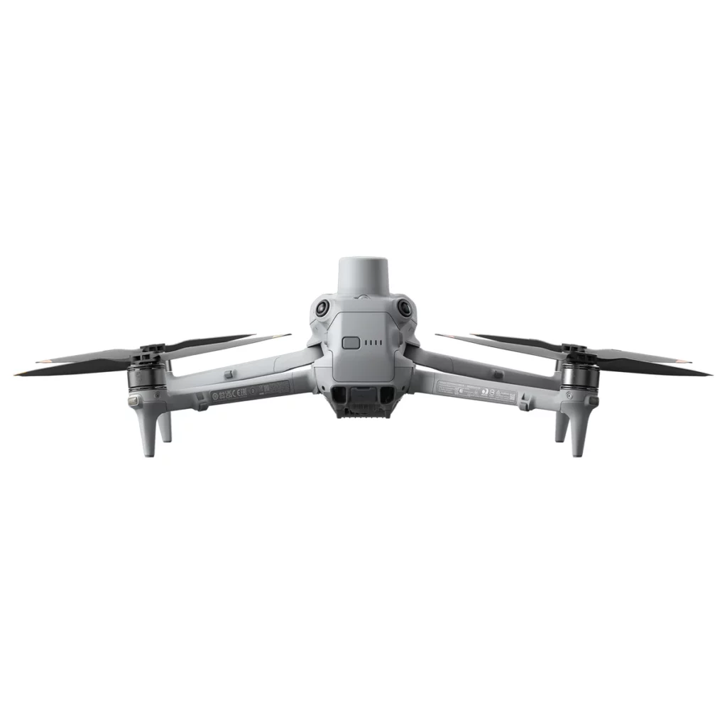
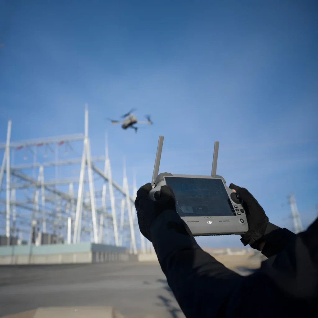
Identical airframe to the M4T — 1,219 g, omnidirectional binocular vision sensing, 49-minute flight time, 25 km O4 Enterprise transmission, 6,000 m max altitude. DJI RC Plus 2 Enterprise controller with 7-inch 1,400-nit display. Compatible with AL1 Spotlight and AS1 Speaker accessories via E-Port. The differences are entirely in the camera subsystem — buy the variant that matches the work, not two aircraft.
Every angle.
→ Swipe to scroll
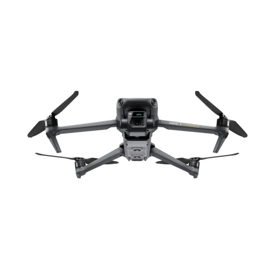
M4E vs M3E (Mavic 3 Enterprise).
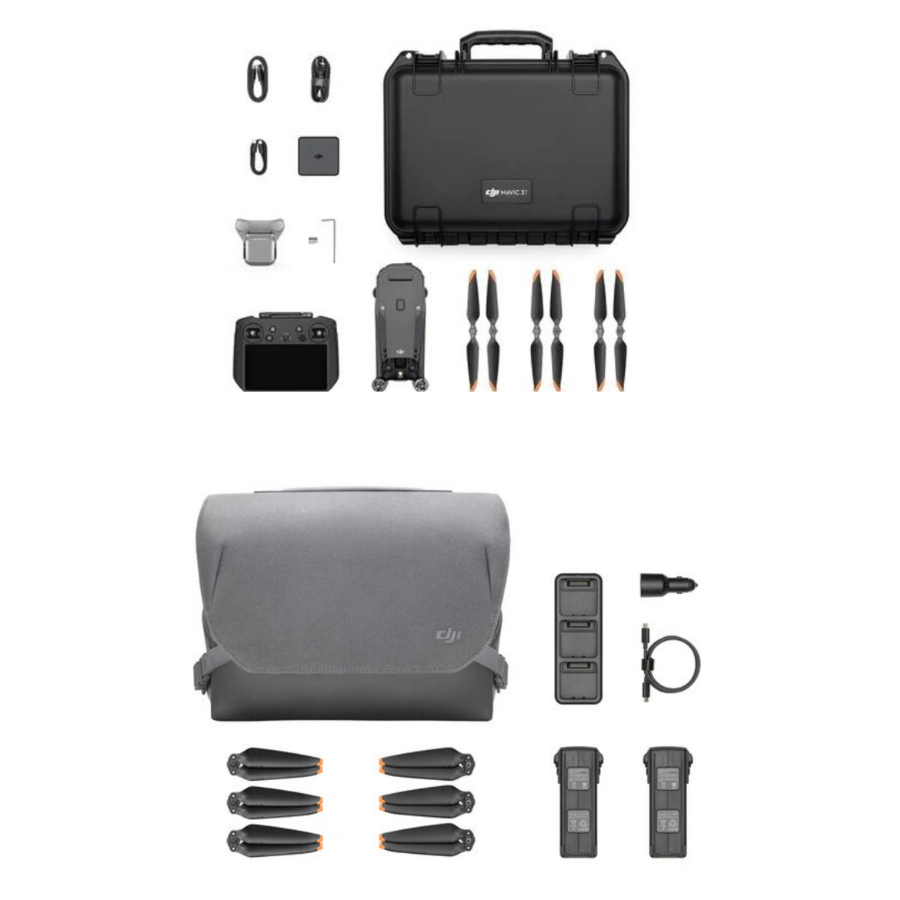
Mavic 3 Enterprise
Previous-gen surveying drone
Matrice 4E
Current-gen surveying drone
Need to know.
M4E or M4T — which to choose? +
Choose by primary use case. M4E is for surveying, mapping, construction, mining, and AEC — the wide camera has 4/3 CMOS with mechanical shutter (essential for clean photogrammetry) and the workflow integrates with DJI Terra, Pix4D, Bentley, and Agisoft. M4T is for public safety, powerline inspection, firefighting, and forestry — it has thermal imaging and a laser rangefinder but smaller sensors on the visible cameras. Same flight platform, different camera optimisation.
Why does mechanical shutter matter for surveying? +
Rolling shutter cameras expose pixels row-by-row over a few milliseconds. When the aircraft is moving, this creates geometric distortion in the resulting image — straight buildings appear skewed, vertical lines bend, and orthomosaic stitching introduces errors that compound across a project. Mechanical shutter exposes the entire sensor simultaneously, eliminating this distortion. For deliverables where measurements need to be defensible (legal surveys, volumetrics, deformation monitoring), mechanical shutter is non-negotiable.
Can the M4E fly missions automatically? +
Yes. DJI Pilot 2 supports automated mission planning including waypoint missions, mapping missions (grid pattern with configurable overlap), and oblique missions for 3D modelling. Combined with RTK and the mechanical-shutter wide camera, the M4E produces survey-grade outputs with minimal pilot input — meaning your team can run multiple sites per day instead of nursing one mission to completion. DJI FlightHub 2 adds fleet coordination and real-time data sharing.
Is the M4E DGCA-compliant? +
The M4E takes off at 1,219 g — DGCA Small class (250 g to 2 kg). Requires Digital Sky registration (UIN), Remote Pilot Certificate (RPC) for commercial operators, and operations in green or yellow zones with appropriate clearance. Sold only to authorised entities per Indian regulation: licensed surveying firms, government agencies, infrastructure operators, mining companies, and educational institutions. Our team handles full registration and import documentation.
Warranty and after-sales support +
1-year DJI manufacturer warranty on aircraft and DJI accessories. 7-day replacement on manufacturing defects. We strongly recommend DJI Care Enterprise on the M4E — covers crash damage and water damage with substantially reduced deductibles for enterprise users. All servicing and pilot training at our in-house facility in Sector 66 Gurgaon.
Tech Specs
Aircraft Specifications
Camera Specifications
Gimbal / Stabilization
Battery & Power
Other Features & Miscellany
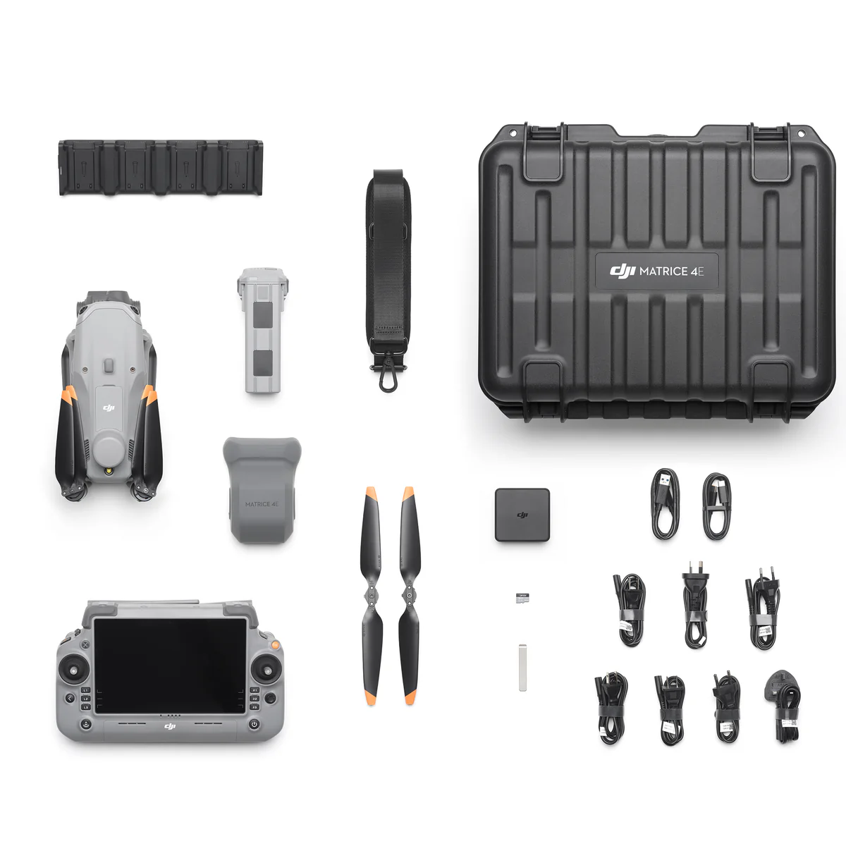
In the Box

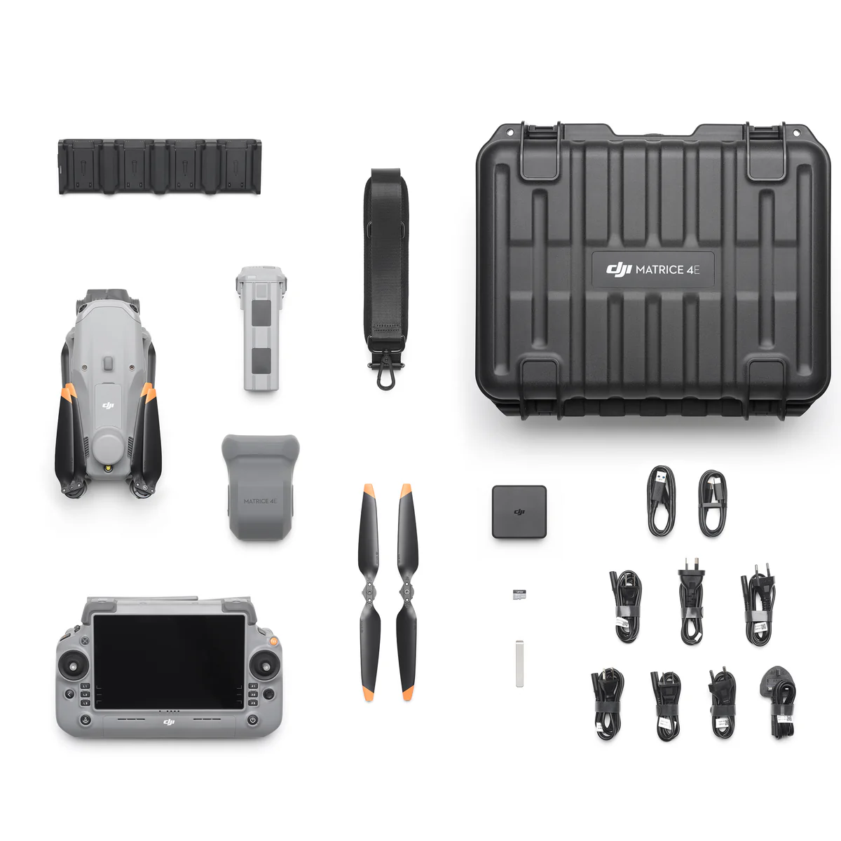
DJI Matrice 4E Aircraft
x1

DJI Matrice 4 Series Battery
x1

DJI RC Plus 2 Enterprise
x1

DJI 100W USB-C Power Adapter
x1

DJI Matrice 4 Series Charging Hub
x1

microSD Card
x1

DJI Matrice 4E Gimbal Protector
x1

DJI Celllular Dongle 2 Pry Bar
x1

DJI Matrice 4 Series Propellers
x3

100W Power Adaptor AC Cable
x1

USB-C to USB-C Data Cable
x1

USB-A to USB-C Data Cable
x1

DJI Matrice 4 Series Storage Case
x1
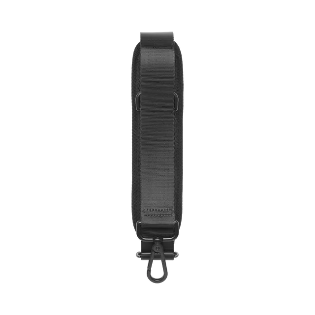
DJI Matrice 4 Series Storage Case Shoulder Strap
x1
