DJI Zenmuse L2
DJI Zenmuse L2
1 Year
Warranty
7 Days
Replacement
In House
Repairs
Sealed
Packed
DJI Zenmuse L2 — Precision LiDAR + RGB Mapping Redefined
High-Density Point Clouds. Superior Accuracy. All-in-One Survey-Grade Aerial Mapping.
The DJI Zenmuse L2 is DJI’s next-generation integrated LiDAR + RGB aerial mapping sensor, engineered to deliver high-accuracy, high-efficiency 3D data capture across surveying, forestry, construction, utilities, and emergency response operations. Building upon the proven performance of the Zenmuse L1, the L2 introduces a redesigned LiDAR module, upgraded IMU, enhanced RGB camera, and optimized data-processing pipeline creating a fully integrated solution for professionals who need fast, reliable, and precise mapping results.
With improved detection ranges, higher point cloud density, and greater overall accuracy, the Zenmuse L2 is a powerful, field-ready sensor for large-scale terrain modeling, asset inspection, and detailed 3D reconstruction.

Next-Generation LiDAR System for Superior 3D Mapping
The Zenmuse L2 features a high-efficiency LiDAR engine designed for long-range scanning and dense data acquisition. Its performance advantages include:
-
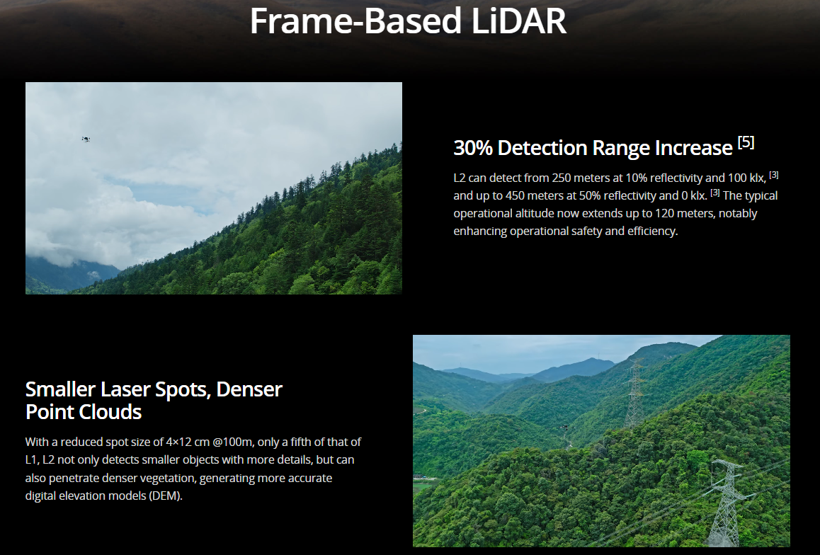
Longer detection range for capturing large areas in fewer passes
-
High point density for detailed terrain and object modeling
-
Improved precision across vegetation, ground surfaces, and complex structures
-
Multiple returns to penetrate tree canopies and vegetation
-
Real-time point cloud preview during flight for instant quality assurance
This enables survey teams to complete missions faster, with confidence that data is captured accurately.
High-Accuracy IMU for Survey-Grade Reliability
The L2 incorporates a significantly enhanced high-precision Inertial Measurement Unit (IMU), delivering:
-
Greater positional stability
-
Reduced drift
-
Improved orientation accuracy
-
Higher consistency across long missions
-
Fewer ground control points required
By integrating the IMU with the drone’s RTK system, the Zenmuse L2 achieves centimeter-level accuracy for professional mapping applications.

Upgraded RGB Mapping Camera for Clear Visual Models
Next to the LiDAR, the L2 features an enhanced RGB camera designed to capture crisp, color-rich images for photorealistic modeling. Benefits include:
-
High-resolution sensor for detailed colorization
-
Improved performance in low-light or shadowed areas
-
Better visual accuracy for 3D model texturing
-
Integrated exposure and calibration for consistency
LiDAR + RGB combined gives operators complete datasets suitable for both engineering analysis and presentation-ready visual outputs.
Massive Coverage Efficiency for Large Sites
The Zenmuse L2 is built for teams that need to capture big projects quickly. Its improved scanning range and accuracy allow:
-
Larger areas to be mapped in fewer flights
-
Higher accuracy at higher altitudes
-
Efficient corridor mapping for roads, powerlines, pipelines
-
Reduced time on-site and faster project turnover
For local surveying firms, engineering companies, and government mapping units, this efficiency is a major operational advantage.
Real-Time Point Cloud Preview in DJI Pilot 2
Operators can instantly verify:
-
Point density
-
Coverage areas
-
Surface uniformity
-
Vegetation penetration
-
Accuracy alignment
This eliminates the guesswork of LiDAR acquisition and ensures quality control before leaving the field.
Optimized for DJI Enterprise Ecosystem
The Zenmuse L2 integrates seamlessly with:
-
Matrice 300 RTK
-
Matrice 350 RTK
-
DJI Pilot 2 for mission planning
-
DJI Terra for advanced LiDAR processing and 3D reconstruction
-
FlightHub 2 for centralized monitoring and cloud workflows
This creates a complete end-to-end workflow from flight to finished deliverables.
Designed for Harsh Field Environments
The L2 is engineered to withstand demanding real-world survey conditions:
-
Rugged construction for tough jobsites
-
Stable performance in wind and varied light conditions
-
Moisture and dust protection for outdoor work
-
Reliable operation across a wide temperature range
Built for year-round professional use, the L2 performs consistently whether deployed in forests, deserts, mountains, or urban construction zones.
Applications Across Industries
The Zenmuse L2 excels in applications where accuracy and detail matter:
-
3D terrain mapping & topographic surveys
-
Forestry canopy studies & vegetation analysis
-
Powerline, roadway & pipeline corridor mapping
-
Mining & quarry volumetrics
-
Construction progress monitoring
-
Flood modeling & emergency response
-
Digital twin creation for infrastructure
-
Geological, archaeological, and environmental studies
Its versatility makes it a core sensor for both government and private-sector operations.
Why Choose the DJI Zenmuse L2?
The L2 is designed for professionals who require:
-
Higher point cloud density
-
Longer LiDAR range
-
Survey-grade accuracy
-
Integrated RGB + IMU + LiDAR
-
Faster field operations
-
Streamlined workflow from capture to model
It is a major leap in DJI’s LiDAR evolution faster, more accurate, more capable, and more efficient than ever before.


